
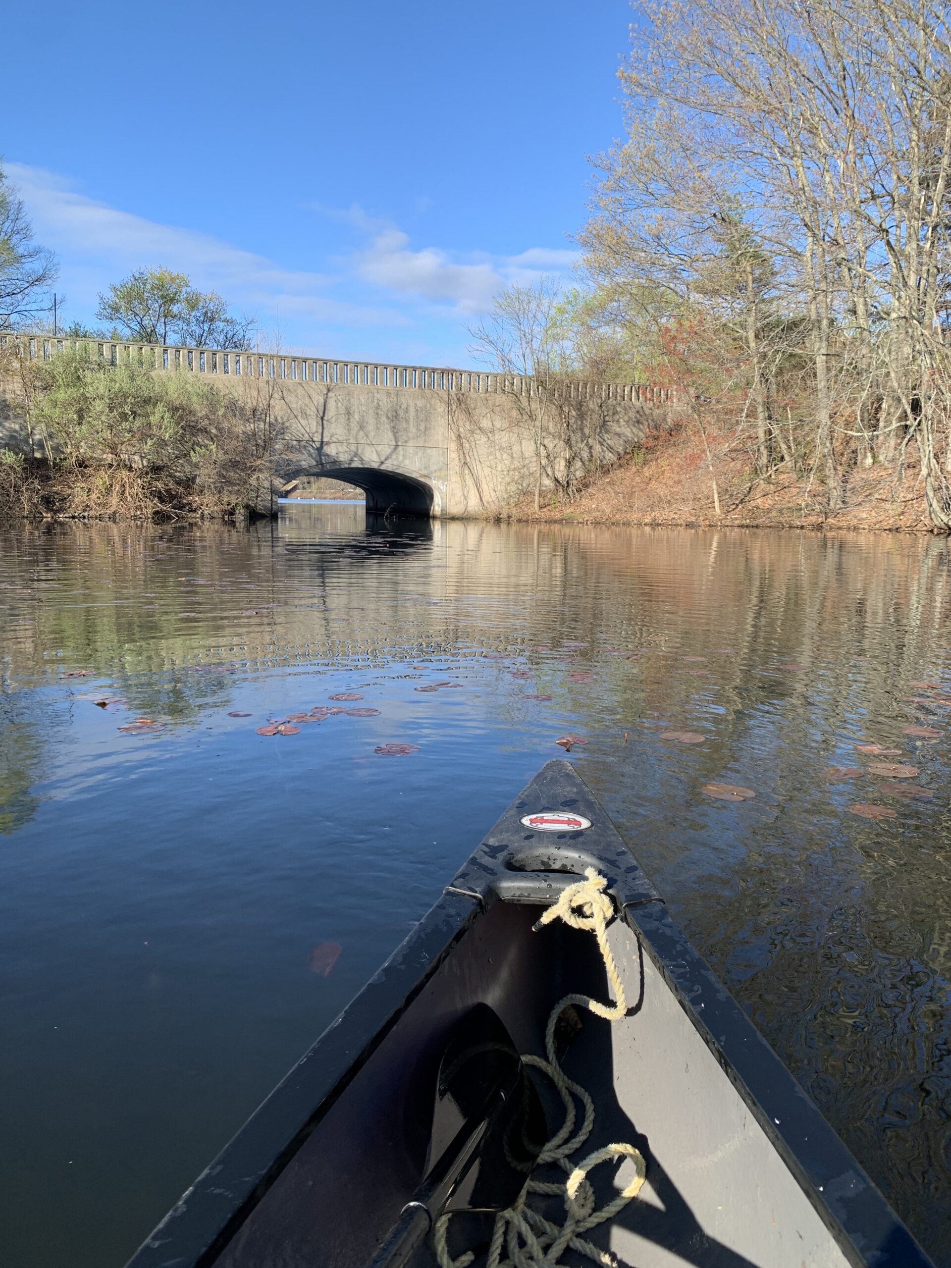
The Quinsigamond River is the vice president of the city’s rivers.
It is the Walter Mondale to the Jimmy Carter of the Blackstone and, in fact, is sometimes referred to as the “Little Blackstone” on older maps. The Quinsigamond River is part-and-parcel of the lake with which it shares a name, sort of, since Lake Quinsigamond has also been known as Long Pond through the centuries.
The lake separates Worcester and Shrewsbury both legally and geographically, although the boundary between the two municipalities does not run down the middle of the lake. The river begins its short trip south in a triad of Worcester, Shrewsbury and Grafton down near where the old Edgemere Drive-In and Edgemere Diner used to be.
Diners and drive-ins. Those were the days, indeed.
I like rivers.
The Quinsigamond has always been a bit of mystery to me, much more so than the Blackstone which runs the length of my hometown of Northbridge. So, when there seemed to be enough water in the Quinsigamond to float a canoe, I decided to paddle it early this month.
The lake is about four miles long and fairly narrow. The river is a bit longer and very narrow. All told, the two only encompass about 10 linear miles. So, it has never been an industrial giant like the Blackstone. The only village it helped create is North Grafton, historically called New England Village.
From a car the river is rarely out of sight but is usually out of mind. From a canoe, the passing cars turn out to be a minor distraction.
Here is how the trip went:
The northern tip of the lake is at the bottom of the hill below Shrewsbury High, fed by a brook—one old map calls this part of the lake Sewall Brook—that runs under Holden Street. At the time of my trip the mouth of the brook was clogged by debris, a messy start to the paddle. Before the lake was tweaked by development, that pool was probably running water. Today’s lake narrows as it goes under the Main Street bridge and the north pool is quiet, busy with waterfowl including ducks, Canada geese and blue herons.
Below the first bridge the lake widens and much of it is turned into a series of lines used for local college and high school crew practice and competition. Being very vertical, Lake Quinsigamond is perfect for that sport and has a long history in that regard.
From the Lincoln Street Bridge south the paddle is peaceful, but along the shoreline with the middle of the late being crowded with crews and they move right along.
The Kenneth Burns Bridge, named after the great rowing coach and competitor, carries Route 9 across the lake. It is always in sight and an excellent gauge to check on my progress south. Ramshorn Island is on the city side of the lake, accessible only by boat and the site of a hotel in the 19th Century.
I had thought about stopping there for a snack and drink but the Canada Geese, that nation’s revenge for the War of 1812, seemed unwelcoming so I continued south. The paddle was remarkably peaceful; there might have been one or two other watercraft in sight.
Soon, Lake Park appeared on the west shore and shortly after that the lake’s character began to change. It was dotted with islands and bays with the Shrewsbury side presenting the most direct path to what would become the river.
The lake becomes riverish as it passes under Route 20 and approaches the Irish Dam. This is one of the unique things about the Quinsigamonds — its waters pass under two interstates — I-295 and the Mass. Turnpike — as well as Route 9, whichs runs the width of the state from Boston to Pittsfield, and Route 20 which goes from Fenway Park to Newport, Ore. and is the longest road in the country.
South of Route 20, Flint Pond appears on the west. I paddled the east side, heading for the mysterious, to me, Irish Dam, just north of Creeper Hill Road in Grafton.
Research turned up little information about that little dam. It is only about four feet high and appears to serve no industrial purpose. There are no paved roads leading to it. That likely means it was built just to maintain the water level in the lake. The earliest reference I could find to it was from the 1880s, although an 1870 map of the area looks like it was there then.
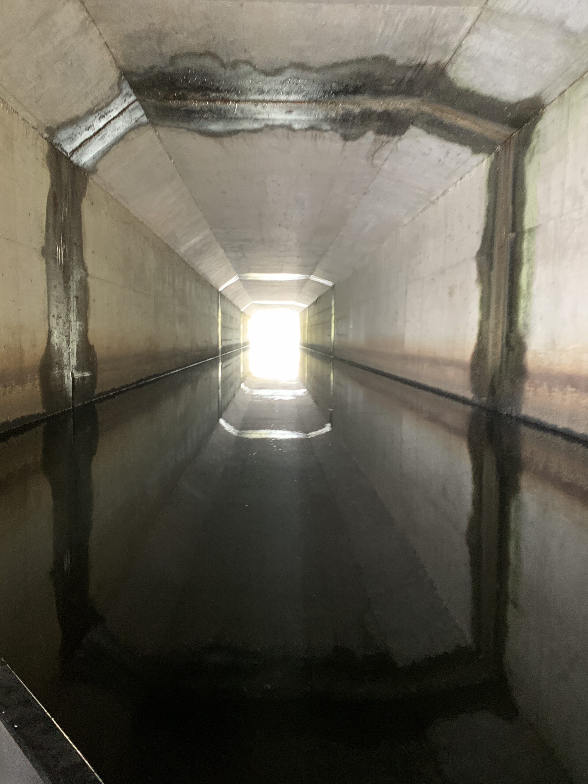
It has been rebuilt several times through the decades and remains active today when the lake is drawn down during the winter. Without it, Lake Quinsigamond would look noticeably different than it does today. In fact, research turned up some references as it being a “lake-river.”
Prior to the Irish Dam being built, the lake probably became the river back up around Route 20. Maintaining a higher water level seems like a good idea; a sign advertising Lakefront Property is more inviting than one advertising Mudfront Property.
The river begins after the water makes its slight tumble over the Irish Dam. There is now current and I was pleasantly surprised to find the paddle to be a lot of fun. The river was shallow but winding. It was lined with cattails and it took some maneuvering to navigate the twists and turns.
Alas, that fun little run was a short one as the Quinsigamond backed up behind the Hovey Dam in North Grafton.
The river has its most dramatic drop in the next half mile or so but I did not try it. The water is fast, the view obstructed. The narrow channel probably is as well, and when the river begins to back up behind the dam at Washington Mills Abrasives on Route 140, there is no convenient place to pull out.
Washington Mills is the biggest manufacturing facility on the river. A plaque on the office building outlines the history of the site, which was known as “Ye Falls” earlier than 1720. Washington Mills was founded in 1868.
The Quinsigamond remains relatively flat for the rest of its length. It is serpentine and slow below the mill and makes its way underneath the Mass Pike through two tubes. By then it is approaching Lake Ripple, known as Goddard Pond in earlier days.
That paddle is a pleasant one. The lake is larger than appears from the road. The dam that creates it is just past Grafton High School and a tricky carry down a rocky, but short, slope. From there to its end the river gains current and is a sporty trip with some maneuvering to do thanks to beaver dams and fallen trees.
As I crossed under the Pleasant Street bridge I was greeted by a fisherman who boasted he had caught two rainbow trout. The state stocks those trout in the lake, so they arrived there after a long swim.
After that, the river curved around what had been known as Goddard’s Field, the site of the first football games played by Grafton High in the 1890s. Soon, the river began its evolution into Fisherville Pond. Behind the large dam in that part of what is now called South Grafton, the Quinsigamond and Blackstone Rivers join and the Blackstone becomes a more substantial stream.
While the lake is spectacular in places, the river is modest, understated. Without them, though, the Blackstone would be an only child and the Heart of the Commonwealth would beat much differently than it does today.
Bill Ballou can be reached at vetgoalie@aol.com