
WORCESTER—It is not mighty like the Mississippi, nor did Abraham Lincoln call it the Father of Waters on his visit here in September, 1848.
Mighty or not, the Blackstone is Our River. This city would be different without it, although it is impossible to predict exactly how different. A reasonable guess, though, is that it would not be the second largest city in New England.
A confession here.
I am fascinated by rivers and have been since high school in the 1960s when my Northbridge High science teacher, Bob Kramarz, began enlightening us to how polluted the Blackstone was and how important it was to clean it up.
He was a bit ahead of his time. He was also right.
I have been over, and under, a lot of rivers since then. I have paddled the Blackstone from Worcester to Pawtucket twice and hiked its partner, the Blackstone Canal, twice from start to finish. I’ve done the entire 410 miles of the Connecticut, the tiny Fort River in Amherst, the whole nine miles of the historic Mystic River, and sections of the Mumford, West, Nashua, Housatonic, Battenkill, Allagash, Quaboag, Charles and St. Croix rivers.
It always comes back to the Blackstone, though.
This latest aquatic adventure is to locate exactly where our river begins its 50 or so mile trek to Narragansett Bay. It was not an easy task. It was made possible, though, thanks to contributions from several different people, especially Blackstone River Coalition Coordinator Peter Coffin; Colin Novick, Executive Director of the Worcester Land Trust; and Dan Boudreau, Head of Readers Services at the American Antiquarian Society.
There is a lot of concrete along the Blackstone, but probably only one concrete fact about where its water begins the long trip south. That is on the slopes of Asnebumskit Hill. The Paxton side gives birth to Kettle Brook. Tatnuck Brook comes to life on the Holden side.
The two brooks meet again in Webster Square but take wildly different routes. Tatnuck Brook is almost a straight shot south and gives us the spectacular Cascades. Kettle Brook meanders through Leicester and into Auburn. It is the more practical of the two streams, providing power for various mills and drinking water for Worcester through the years, among other things.
Those two brooks are the father and mother — take your pick which — of the Blackstone River. Beyond that, the ancestry of the river is muddier than its water, which actually is not very muddy at all in many places.
The United States Geological Survey identifies the source of the Blackstone as the confluence of the Middle River and Mill Brook.
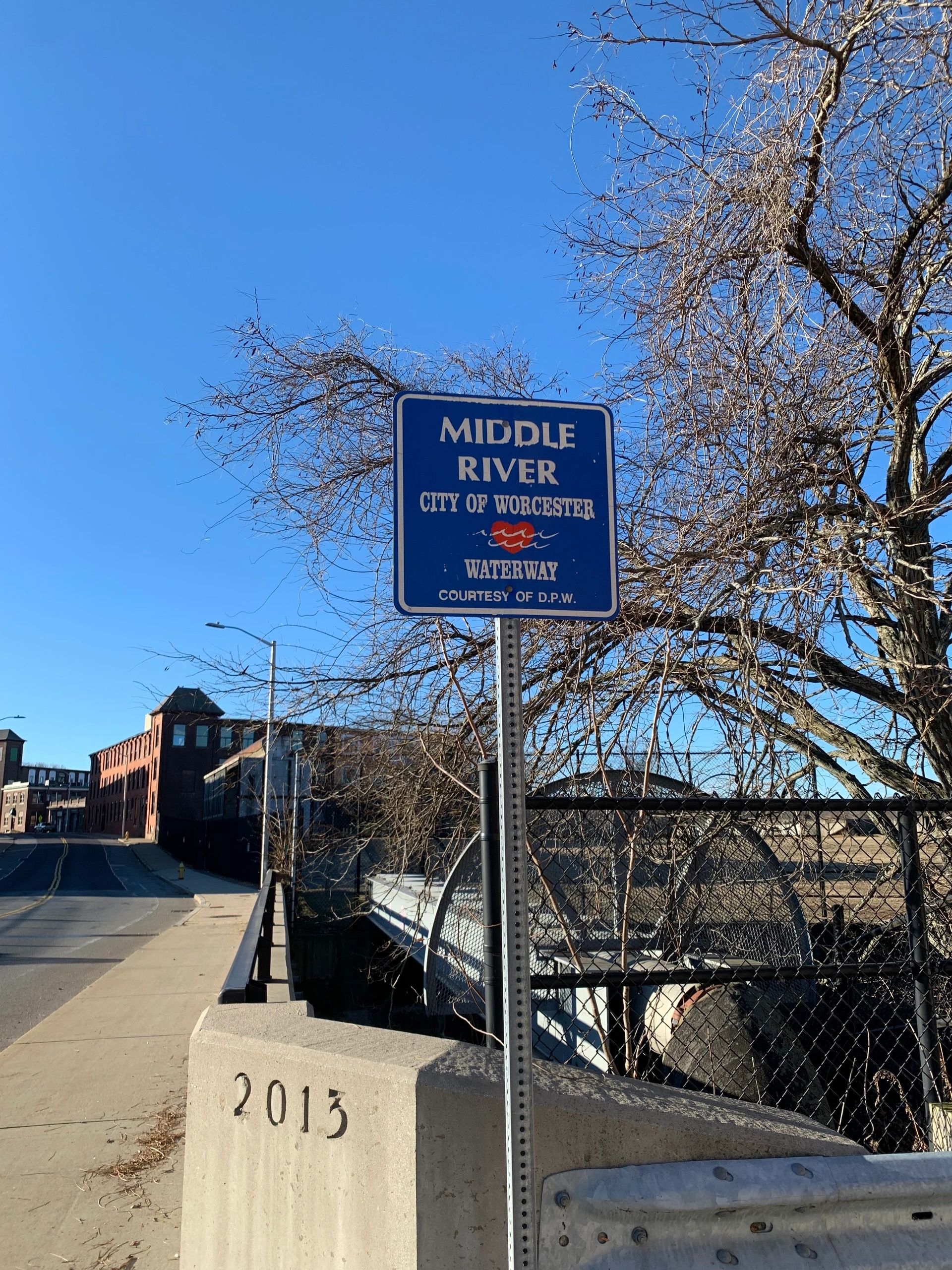
I disagree. Mill Brook is real, but the Middle River is an invention. That name should be stricken from any connection with the Blackstone and may already have been, but more on that later.
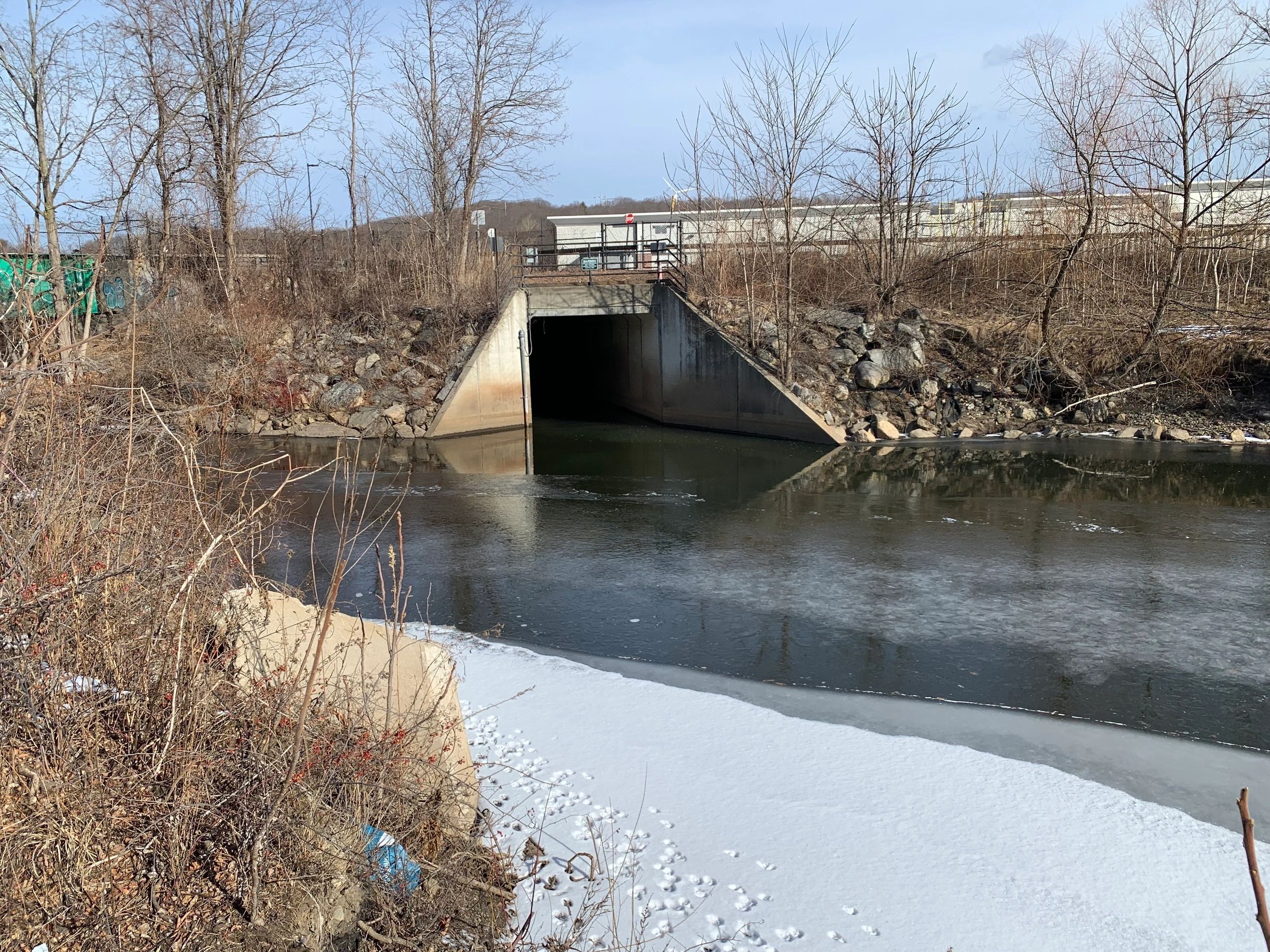
For one thing the currently recognized start of the Blackstone is about 1,000 feet south of where it was before the former steel and wire factory buildings were razed and replaced by the Wal-Mart Plaza and the adjacent parkland.
The official source is where Mill Brook sees daylight. That is along the bike path, south of McKeon Road, behind the abandonded fire station on Greenwood Street.
That sources is a relatively recent development. How about 300 or so years ago before the city became industrialized?
Blackstone River was the name given to the stream by English settlers. The native Nipmucs called it Ka’ttatuck. The river has always bent around Pakachoag Hill, so its course is about the same today as it was in the time of the Nipmucs.
However, the river of today is very different from the river the area’s first English settlers saw. It is like looking at pictures of your grandmother when she was a five-year-old, and a 75-year-old. Yeah, there are similarities, but a lot has changed.
The Blackstone has been dammed, and damned. It has been been straightened, channelized and canalized. Nature has created oxbows, washed out riverbanks and moved boulders. Beavers have been at work. Trees have come and gone.
So if the true source of the Blackstone is not the modernized one, where is it?
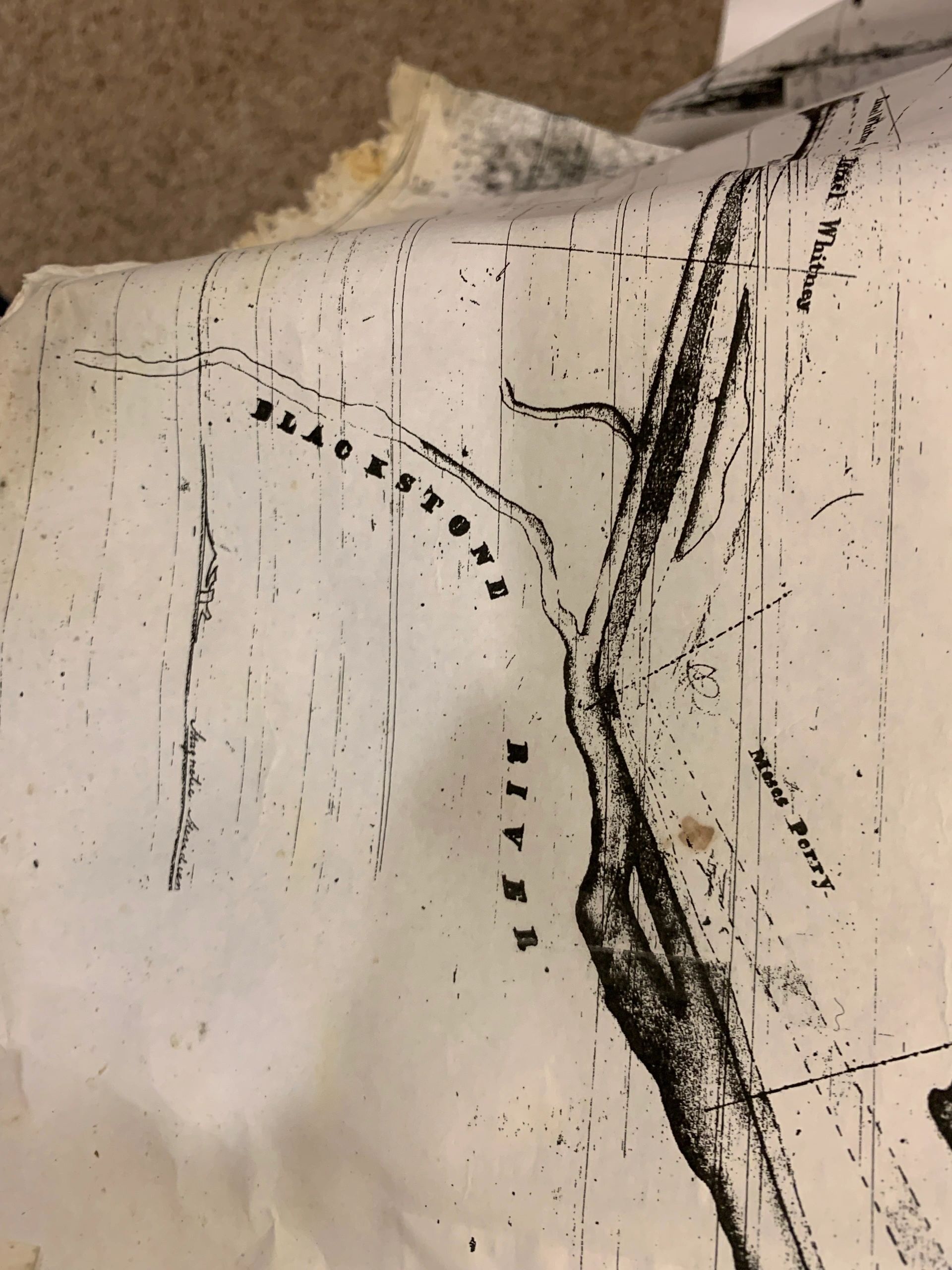
The Phelps map of the Blackstone Canal, done in the 1820s, shows the confluence of the canal, Mill Brook and what we have come to call the Middle River, a stream that comes to life at Webster Square.
However, the Phelps map is quite clear about the name of that particular river and it is the Blackstone. A search of the Worcester Telegram archives shows no mention of anything called the Middle River until 1894.
The earliest available maps of the area are from handwritten ones in the archives of the American Antiquarian Society from the late 1700s. Those maps date to before the first dam was built to create Curtis Pond, so it shows the natural course of the river, not the developed one.
Three streams came together close to where today’s dam is, close to the Fire Station on Webster Street. They were Pakachoag Brook, the Halfway River, and Turkey Brook. None of those names are used today, though. The Halfway River is what we now call Tatnuck Brook. Turkey Brook is today’s Beaver Brook. It seems most likely that Pakachoag Brook is Kettle Brook.
No map drawn after that shows the Blackstone River anywhere above Webster Square. One way or another, that should be considered as the historic source, the pre-industrial source, of today’s Blackstone. Accepting that the Middle River is an invention, both the natural and modern source of the Blackstone River is where Kettle Brook empties from the Curtis Ponds and then is joined by Tatnuck Brook behind the fire station in Webster Square
Generally, rivers don’t appear out of nowhere. Their lineage is like the Book of Genesis. Trickles merge and beget streams. Streams merge and beget brooks. Brooks merge and beget rivers.
The historic source of the Blackstone, the place where the first drops of water head from here to the Atlantic Ocean, is on Asnebumskit Hill. Which stream, though? Is it Kettle Brook or Tatnuck Brook on the Holden side?
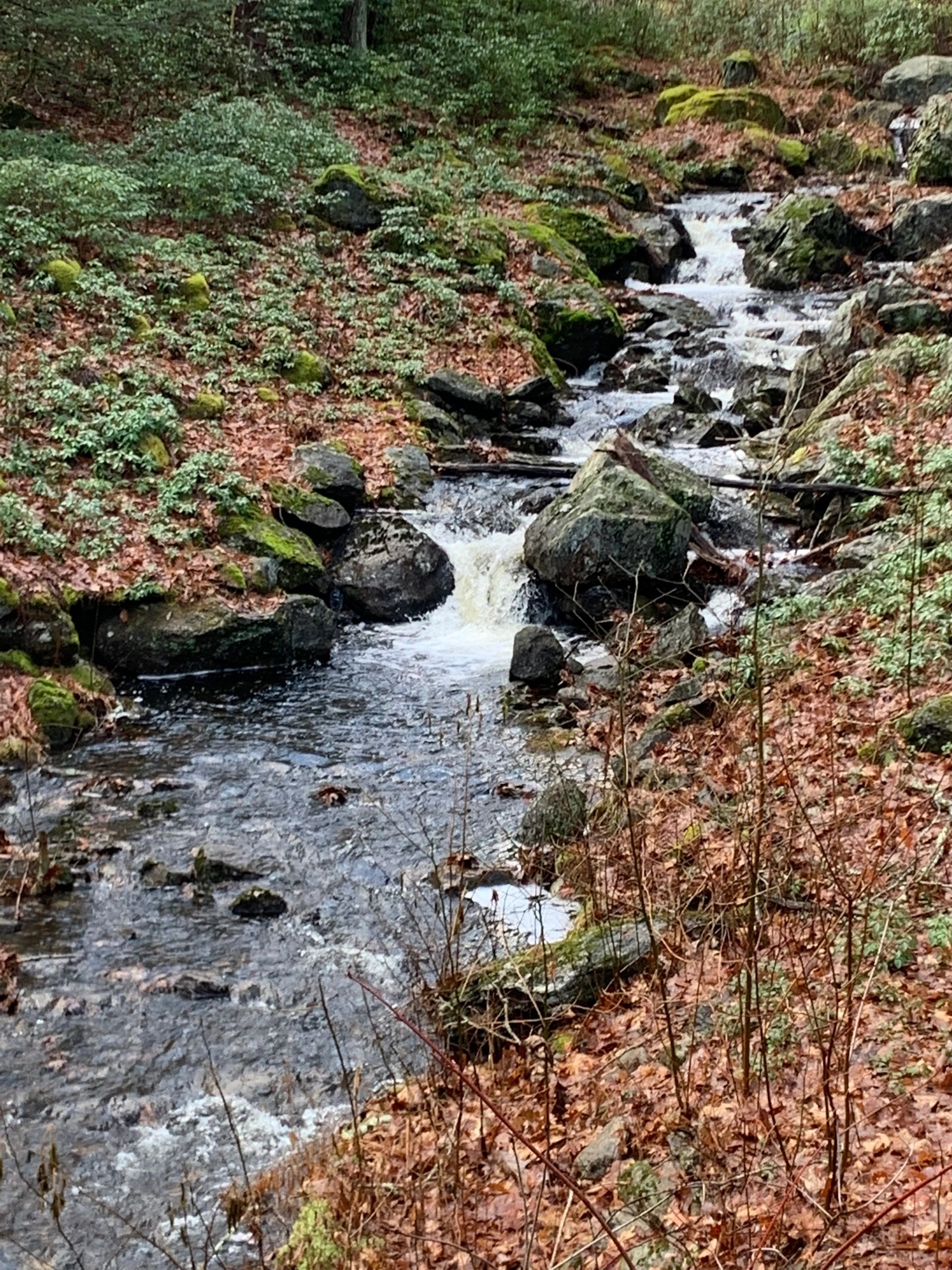
We will go with Tatnuck Brook. One reason is that research done by Novick indicates that “Tatnuck” is a term that almost certainly evolved from the Nipuc term “Ka’ttatuck,” Blackstone’s natural name. Another reason is that today’s Tatnuck Brook was AKA the Halfway River, indicating a more substantial flow.
So, what should we consider as the beginning point of the 2025 Blackstone River?
It is definitely not north of Webster Square nor south of the Wal-Mart Plaza. The issue is the multi-named stream between the two points.
Centuries ago, before TV, newspapers, advertisements and the internet, there was nothing like those “Name the Team” contests that happen when new sports franchises are born.
No “Name the River” contests either.
Thus, the Nipmucs and the city’s earliest European settlers named things organically. Research into the stream that flows out of Webster Square and around Pakachoag Hill shows several names. It is most frequently called the Blackstone River, but often called the Halfway River.
There is even a reference to it as the French River. Today’s French River flows out of Oxford and ends in Connecticut. The earliest the name “Middle River” shows up is 1894.
There is an 1877 map that calls it the Halfway, an 1878 one that calls it the Blackstone.
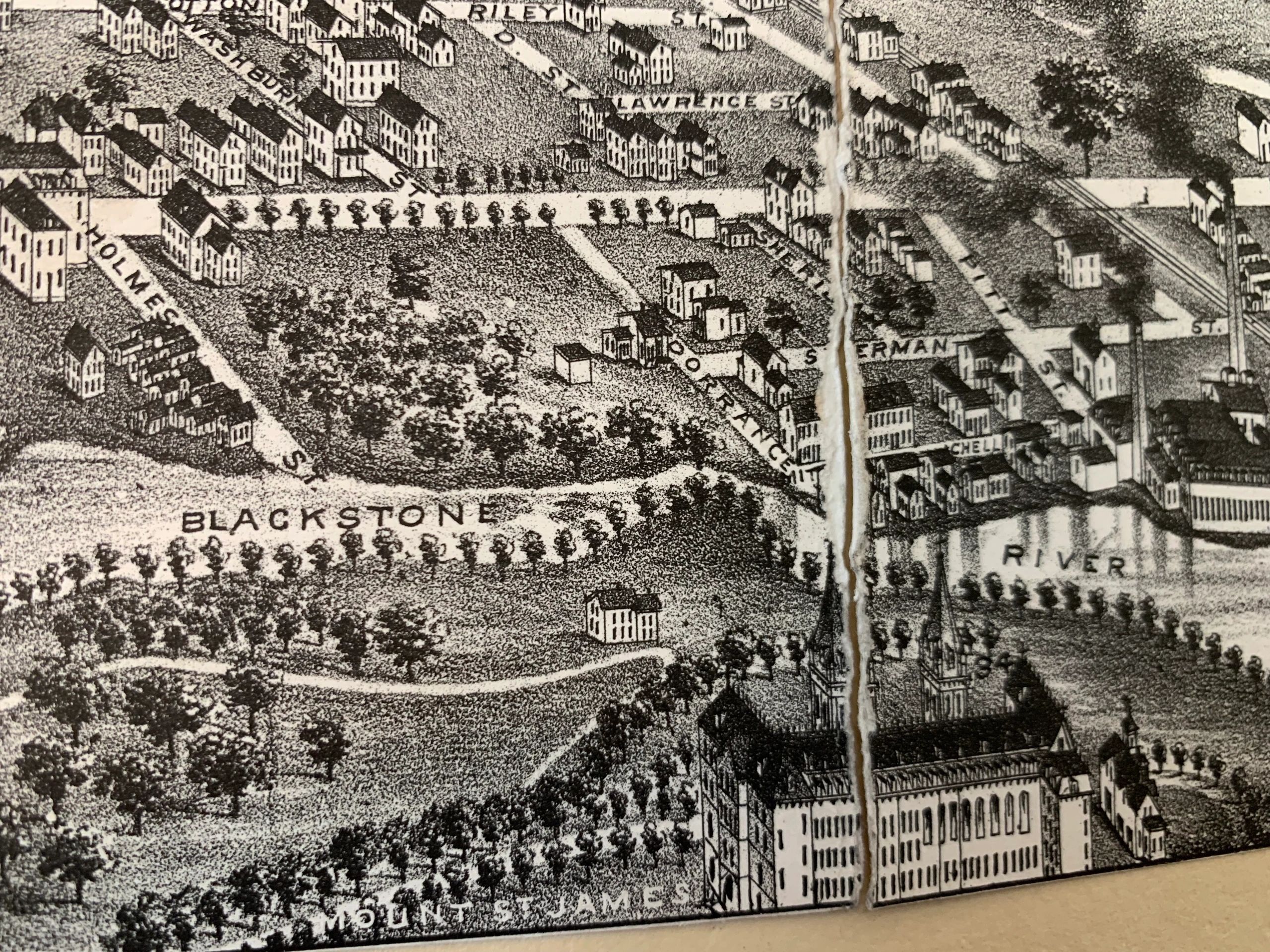
In 2004 the Worcester City Council passed a resolution to officially re-re-name the Middle River the Blackstone River. That resolution was forwarded to the Parks and Recreation Department for more action but there is no record that anything ever happened.
Beyond that, what government body decides on place names? Is it a town or city? Is it the Commonwealth of Massachusetts or even the new President of the United States?
It is about time to make it official, it seems. Our River, the Blackstone, starts in Webster Square, as it has since before Europeans arrived in Central Mass. more than 300 years ago.
Bill Ballou covered the Red Sox for the Worcester Telegram from 1997 through 2018. He has covered pro hockey in Worcester since 1994 and currently does a weekly column for the Worcester Red Sox. Ballou can be reached at vetgoalie@aol.com
