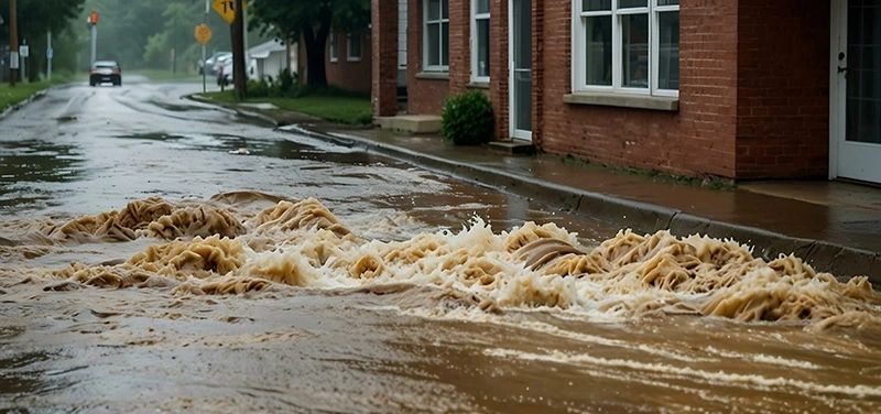
WORCESTER—Worcester officials are hosting community meetings to inform residents about proposed updates to the city’s flood maps, which could affect property classifications and insurance requirements.
The Federal Emergency Management Agency (FEMA) issued preliminary flood maps for Worcester on Nov. 26, 2024, as part of its ongoing effort to update flood risk assessments nationwide. These maps are expected to replace the current ones in the summer of 2026 or 2027.
According to FEMA, flood maps help communities identify areas at the highest risk of flooding. The changes may impact homeowners, businesses, and local planning efforts.
Residents can attend an in-person meeting on Wednesday, March 26, from 6-7:30 p.m. at the Worcester Senior Center or join a virtual session on Wednesday, April 23, from 6-7:30 p.m., which includes Spanish interpretation. City officials provide information on the proposed updates and answer questions.
Register for the in-person meeting here. And go here to sign up for the virtual meeting.
Have news, tips, or a story worth telling? A good recipe or a funny joke? Reach Editor Charlene Arsenault at carsenault@theworcesterguardian.org—because good stories (and great scoops) deserve to be shared.